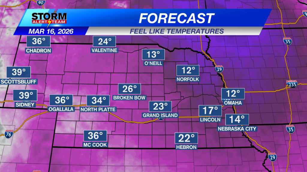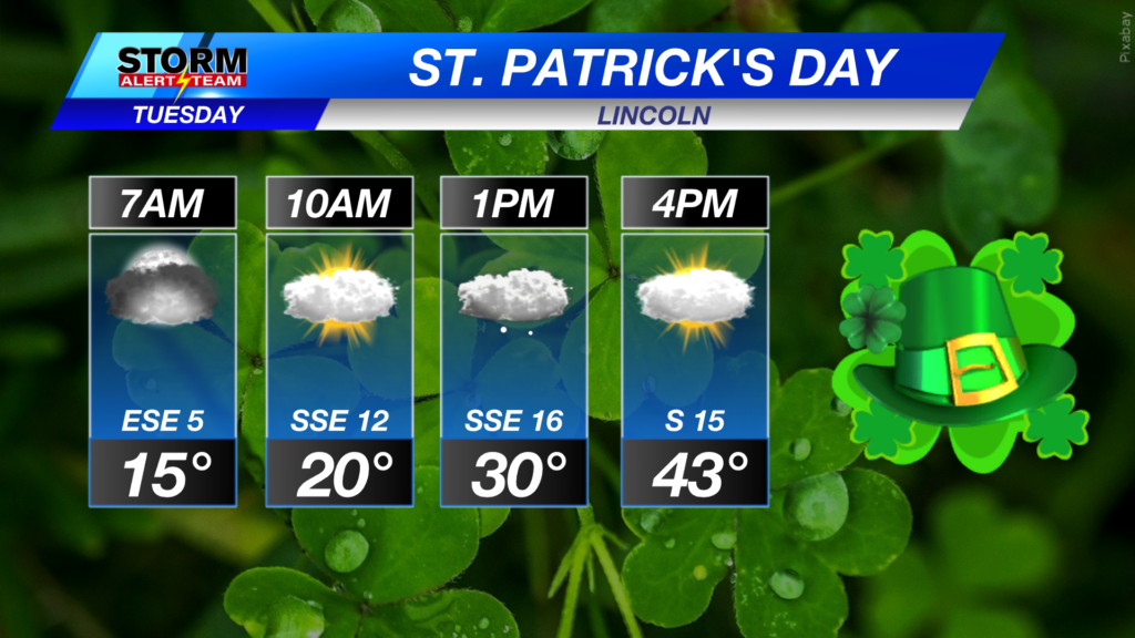
A cloudy & chilly ST. Patrick’s Day across eastern Nebraska, while much warmer conditions stay farther west. A small chance for light snow/flurries near noon-4pm along the Missouri river. Wednesday begins our “heat wave”!
One more chilly day across eastern Nebraska! Temperatures will remain WARM farther west with gusty winds fueling FIRE weather by 2pm. The warmth and sunshine takes over Wednesday as a warm front moves though overnight.
A chance for light snow/ flurries develops along the Missouri River this afternoon. Minor accumulations with impacts to travel remaining minimal.
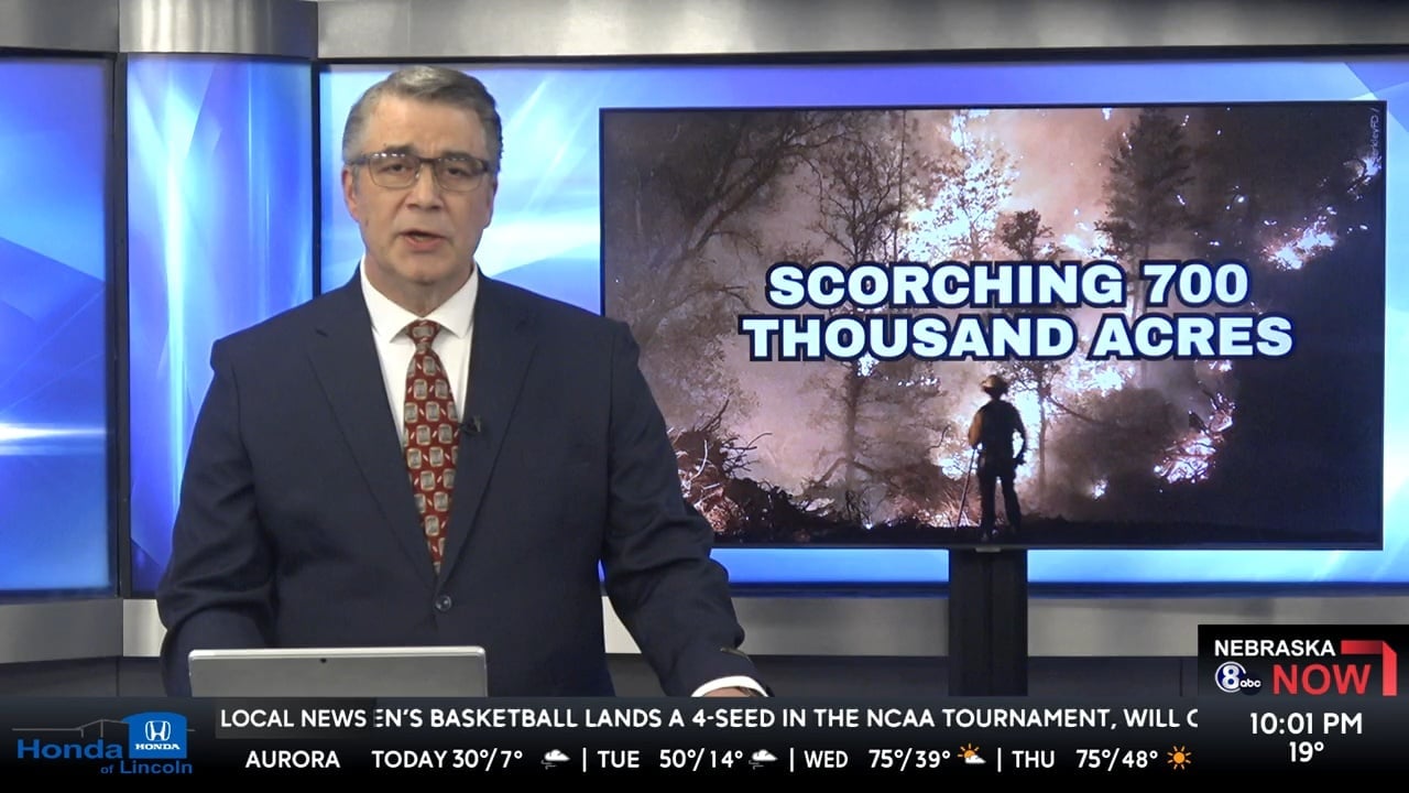
NW winds will gust to near 35-45 mph across western Nebraska by 2pm. This will add to the critical fire weather currently ongoing. Substained winds between 15-20 mph with gusts up to 35 mph farther eaast.
One last chilly day for eastern Nebraska! A warm front moves through late Tuesday with temperatures skyrocketing into the 70s and 80s with winds staying slightly breezy through Thursday. Friday and Saturday could be our warmest days this year! Some spots could see the lower 90s on Friday and Saturday. A cold front moves through Sunday with our next spotty precipitation chance coming near March 24-26.
Meteorologist Houston Hall
Facebook: HHallWX
YouTube: HHallWX
Tags: #klkntv, Beatrice, breezy, channel 8 weather, fire danger, forecast, Grand Island, Hastings, lincoln, McCook, Nebraska, North Platte, Omaha, rain, red flag warning, snow, Spring, warm, weather, Wind