INDIANAPOLIS (WISH) — Snow melt continues this week, with temperatures returning to the 40s and 50s across the state on Tuesday.
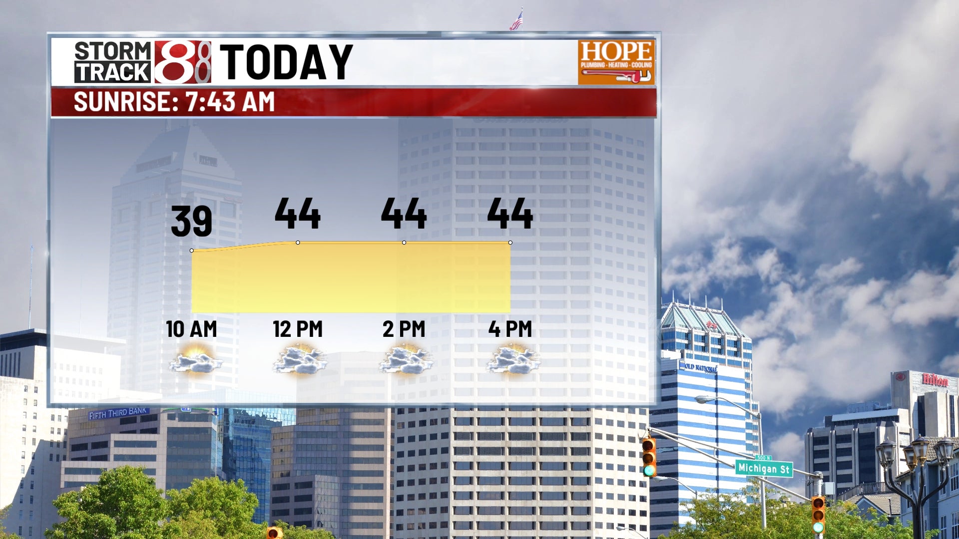
Tuesday:
Patchy fog is possible on Tuesday morning. Increasing cloud cover may limit warming in some areas. Despite the clouds, central Indiana is expected to remain dry.
Tuesday night:
A cold front is forecast to move through the region on Tuesday night. This transition will bring mostly dry conditions, though some clouds may linger in the eastern portion of the state. Overnight low temperatures are expected to drop into the 20s.
Rest of the week:
From Wednesday through Friday, the area will enter a quiet weather stretch with light winds and a mix of sun and clouds. Temperatures are forecast to remain slightly above normal for mid-February. Highs will generally stay in the 30s and 40s, with warmer temperatures expected in southern Indiana.
Weekend rain?
Clouds will increase on Saturday ahead of a system that brings rain showers late Saturday night and Sunday. Current forecasts indicate that rain is more probable than snow for this system. While timing and exact rainfall amounts remain uncertain, the highest chances for precipitation are expected south of Interstate 70. Precipitation estimates as of now keep the 1″+ swatch along and south of the Ohio River.
7 day forecast:
Meanwhile, temperatures should continue to get better through the weekend. Next week could be potentially warmer, with 50s possible to open the week!