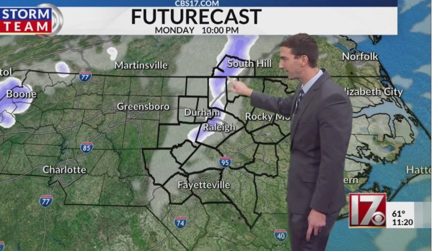
RALEIGH, N.C. (WNCN) – Monday stays mostly sunny, but as central North Carolina moves into Monday evening and overnight, a small disturbance aloft could tap into just enough moisture and cold air to squeeze out a few flurries or wet snowflakes.
We’re not talking about any accumulation, for that, you’d have to head west to the North Carolina mountains, where the higher elevations could pick up 6 inches or more of snow.
RELATED: Daily central NC weather forecast – updated by CBS 17 Meteorologists
For the Triangle area, it’s mainly about the cold. A freeze watch was issued early Sunday for all of central North Carolina from Monday evening through Tuesday morning, according to the National Weather Service.
Forecasters say sub-freezing temperatures ranging from 22 to 30 degrees are possible throughout the CBS 17 viewing area.
The area in North Carolina for the freeze watch.
Monday and Veterans Day on Tuesday will be the chilliest days, then temperatures begin to moderate midweek, with a nice rebound by next weekend.
Highs return to around the seasonal average, mid-60s, and lows in the low 40s at night by mid-November.
So, if you’re not a fan of this early taste of winter, don’t worry, it won’t be sticking around for long!