A few showers and storms were lingering around a low-pressure system in eastern New Mexico this morning. That low pressure system is responsible for the late week rainfall, showers and storms across the state. Overnight, a severe thunderstorm warning was issued by the National Weather Service (NWS) in Roosevelt County for 1.00″ size hail and 60 mph winds. Today, that low pressure system will move off to the east while drier air settles in behind it.
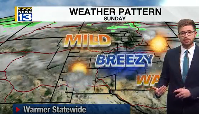
Accompanied by that drier weather will be sunshine throughout Saturday and calmer winds. On Sunday winds are expected to be a bit breezy across New Mexico where some locations could see gusts reach 25-30 mph. The breezy conditions are from the mid to upper levels of the atmosphere that will travel down to the surface. Also, tomorrow temperatures will be warmer across the state and southern Colorado. Those breezy winds will linger into Monday for a few cities across the state.
A backdoor cold front is expected to slide through on Monday night dropping temperatures to be cooler than normal in eastern New Mexico by Tuesday afternoon. As that backdoor cold front does slide through shower chances will pick up primarily for the northeast on Tuesday morning. Dry conditions will be sticking around through much of the week. Enjoy your weekend!