FOR TROPICAL NORTH ATLANTIC OCEAN, CARIBBEAN SEA, AND GULF OF MEXICO AREA OF SPECIAL INTEREST: 10–20°N AND 40–65°W
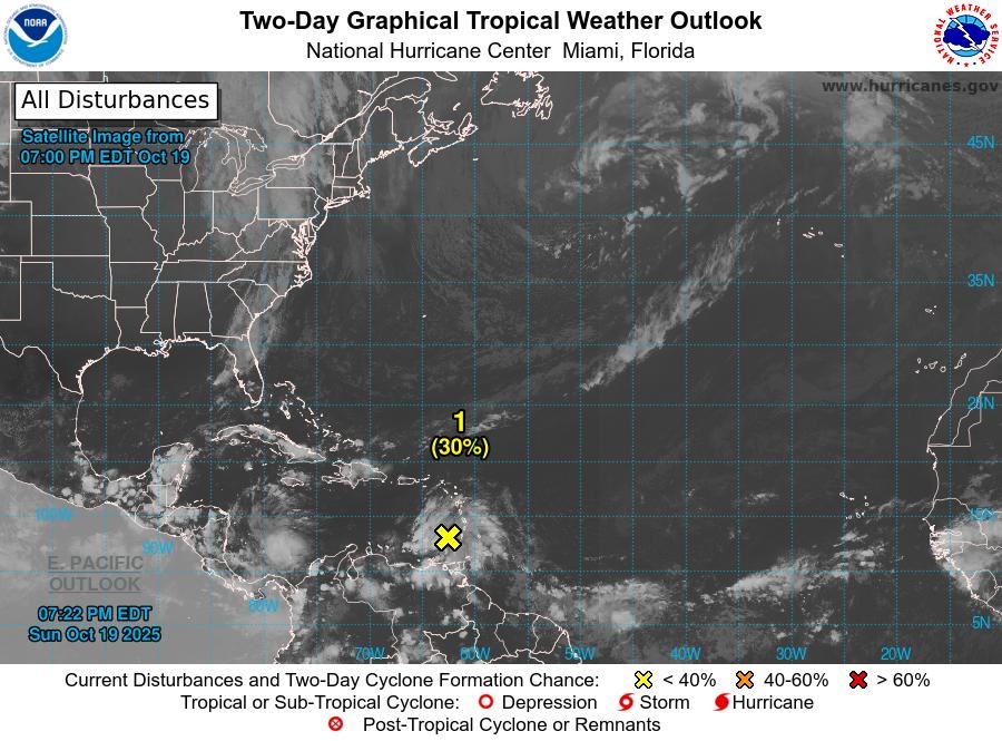
Tropical Wave: Showers and thunderstorms have become slightly better organised since yesterday in association with a tropical wave located just west of the Windward Islands over the eastern Caribbean Sea. However, surface observations indicate the disturbance still lacks a closed circulation. The system is moving quickly westward at 20 to 25 mph, which will likely limit its development over the next day or so. Thereafter, environmental conditions are forecast to become more favourable for development as the wave slows down over the central Caribbean Sea, and a tropical depression is likely to form during the middle to latter portion of this week.
Regardless of development, heavy rainfall and gusty winds are expected to continue for portions of the Windward and Leeward Islands through Monday morning. Formation chance through 48 hours, low, 30%. Formation chance through 7 days, high, 70%.
Note: Flash flood and landslide advisories are currently in effect.
The next update will be issued at 2 am.
Meteorological Services, MBIA
Grenada Airports Authority (GAA)
NOW Grenada is not responsible for the opinions, statements or media content presented by contributors. In case of abuse, click here to report.