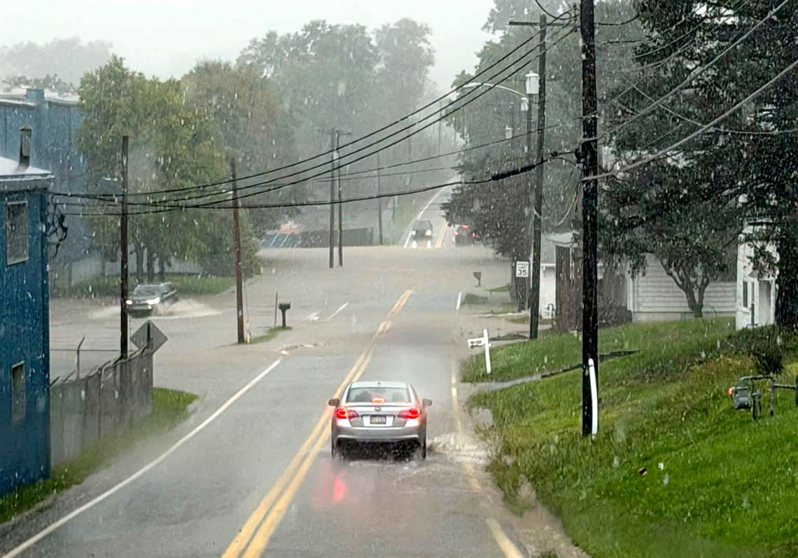

Central Pennsylvania residents should prepare for a significant weather shift, with steady rainfall expected Tuesday night through Wednesday and cooler-than-normal temperatures persisting through the end of May.
A chilly Memorial Day morning will give way to a mix of sun and clouds, with temperatures reaching the mid-60s to low 70s.
However, a substantial weather system will bring widespread rainfall Tuesday night, with precipitation expected to be most intense from late Tuesday night through Wednesday morning. Rainfall totals are predicted to range from 0.50 to 1.50 inches, with the southwestern zones potentially experiencing the heaviest precipitation.
With the ground already saturated, some places could see flooding.
Temperatures will remain well below seasonal averages. Wednesday is expected to be the coolest day of the week, with highs reaching 55 to 60 degrees, approximately 10 to 20 degrees below the historical average for late May.
Current weather radar
Generative AI was used to produce an initial draft of this story, which was reviewed and edited by PennLive.com staff.